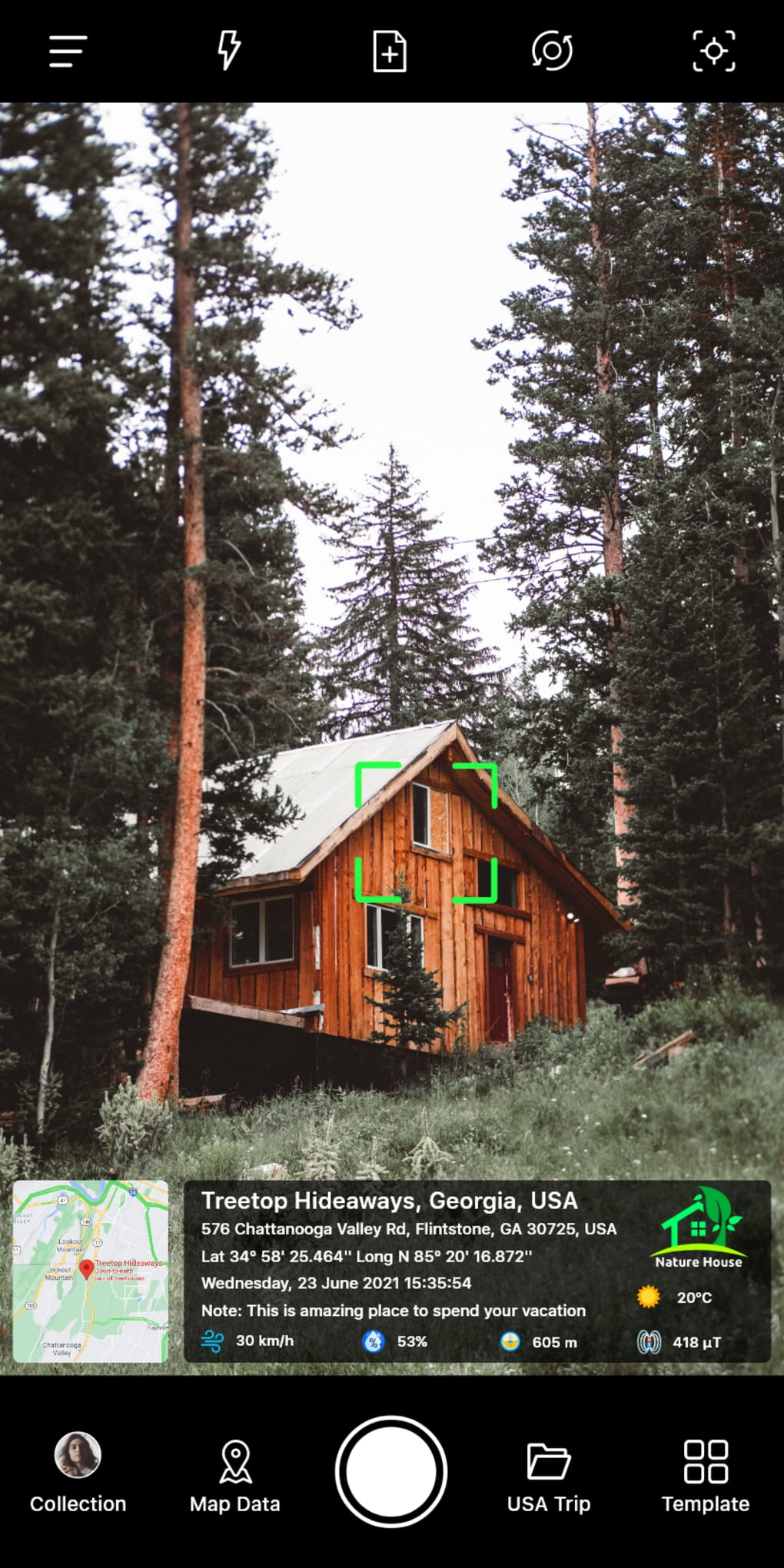
In today’s world, you can find a lot of different ways to capture and share your travel experiences. You can go on a trip to a new place and create memories by taking photos and videos. Or you can take a photo and share it on social media. GPS Map Camera: Geotag Photos & Add GPS Location is an application that lets you add location information and other information to your photos and videos. You can add all the information that you want, such as the date, time, location, address, latitude, and longitude, altitude, accurate weather, magnetic field, wind, and digital compass. You can add all this information to your photos and videos and share them on social media. You can also send your geolocation of the street/place through photos to your family & friends, and let them know about your best earth travel memories.
Version
90.99.1
License
Free
Platform
Android
OS
Android 13.0
Downloads
7K
Developer
GPS Map Camera


